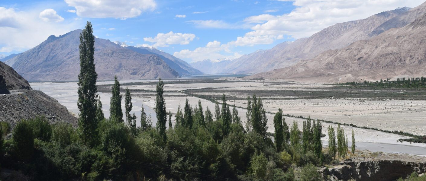
Ladakh Sector
Description of the Ladakh Sector
From the Karakoram Pass the boundary lies along the watershed between the Shyok (belonging to the Indus system) and the Yarkand, and runs through the Qara Tagh Pass (Long. 78° 20′ E and Lat. 35° 43′ N) to cross the eastern bend of the Qara Qash river (north west of Haji Langar) and to ascend the main Kuen Lun mountains.
Thereafter the boundary runs through the Yangi Pass (Long. 79° 25′ E and Lat. 35° 55′ N) along the crest of the mountains separating the Yurungkash basin from those of the lakes in Aksai Chin. It leaves the main crest of the Kuen Lun mountains at a point approximately Long. 80° 21′ E and descends in a south-westerly direction, separating the basins of the Amtogor and Sarigh Jilganang lakes in India from those of Leighten and Tsoggar lakes in Tibet, down to Lanak Pass (Long. 79°)
From the Karakoram Pass the boundary lies along the watershed between the Shyok (belonging to the Indus system) and the Yarkand, and runs through the Qara Tagh Pass (Long. 78° 20′ E and Lat. 35° 43′ N) to cross the eastern bend of the Qara Qash river (north west of Haji Langar) and to ascend the main Kuen Lun mountains. Thereafter the boundary runs through the Yangi Pass (Long. 79° 25′ E and Lat. 35° 55′ N) along the crest of the mountains separating the Yurungkash basin from those of the lakes in Aksai Chin. It leaves the main crest of the Kuen Lun mountains at a point approximately Long. 80° 21′ E and descends in a south-westerly direction, separating the basins of the Amtogor and Sarigh Jilganang lakes in India from those of Leighten and Tsoggar lakes in Tibet, down to Lanak Pass (Long. 79° 34′ E and Lat. 34° 24′ N).
South of Lanak Pass the boundary passes through the Kone pass (Long. 79° 29′ E and Lat. 34° 9′ N) and the Kepsang Pass (Long. 79° 30′ E and Lat. 34° 8′ N), which lie along the watershed between the Chang Chenmo and Chumesang in India and the streams flowing into the Dyap Tso in Tibet. Thereafter the boundary lies along the southern bank of the Chumesang and the eastern bank of the Chang-lung Lungpa, skirts the western extremely of the eastern half of Pangong lake, lies along the watershed between the Ang stream flowing into the western Pan gong lake and other streams flowing eastward, cuts across the eastern part of, Spanggur lake and follows the northern and eastern watershed of the Indus through the Chang Pass (Long. 79° 22′ E and Lat. 33° 1′ N) upto the Jar Pass (Long. 79° 33′ E and Lat. 32° 47′ N).
A little south of Jara Pass it turns south-westward, crosses the Indus about five mile south-east of Demchok, and following the watershed between the Hanle river and the tributaries of the Sutlej river it passes through the Charding Pass (Long. 79° 24′ E and Lat. 32° 32′ N) the Imis Pass (Long. 79° 2′ E and Lat. 32° 23′ N), and the Kyungzing Pass (Long. 78° 46′ E and Lat. 32° 38′ N). Thereafter it turns westward and .crosses the Pare river about five miles south of Chumar to reach Qya Peak (Long. 78° 24′ E and Lat. 32° 32′ N).